The highest mountain in Iceland re-measured
According to new accurate GPS surveying on Hvannadalshnúkur,
the highest mountain peak in Iceland, the new height of the Glacier
is 2110 m (2109,6 m). As per older surveys the height of the mountain
has been recorded as 2119 m. The recent survey took place during
July 27-29, 2005 and was very successful.
The survey was a collaborative effort between
the NLSI, the Icelandic Coast Guard and the Institute of Earth
Sciences. Because Hvannadalshnúkur is a glacier the NLSI
plans to measure the height of Hvannadalshnúkur every 10
years.
Surveys on glaciers
Because Hvannadalshnúkur is a glacier its height varies
within the year. The height is therefore more after a heavy winter
than in the fall when the temperatures have been higher during
the summer and melted the snow.
History
of the surveying of Hvannadalshnúkur
Source: Þar sem landið rís hæst by Snævarr
Guðmundsson
The
height of Öræfajökull was a fascinating secret
for centuries and for a time Öræfajökull was considered
to be among the highest mountains in Europe. This point of view
was documented in a report from 1776 by Sæmundur Magnússon
Hólm, one of the biggest Icelandic mapmakers in the second
half of the eighteenth century.
1794
Sveinn Pálsson was the first man to make an attempt to
walk on Öræfajökull. He walked up to a peak that
is now called Sveinsgnípa about 1900 m above sea level.
1813
The first mountaineering to Hvannadalshnúkur in 1813 may
have been a misinterpretation. The Norwegian Hans Frisak doesn't
mention Hvannadalshnúkur but according to descriptions
of the view he has probably walked on the Hnappur mountain peak.
1891
During the most part of the nineteenth century people believed
that Hnappur was the highest mountaintop in Iceland. This was
until August 1891 when Frederick W.W. Howell walked to Hnappur
and saw that the Hvannadalshnúkur peak is actually higher.
He climbed Hvannadalshnúkur the same day along with Páll
Jónsson and Þorlákur Þorláksson.
Howell believed that Hvannadalshnúkur was about 1950 m
above sea level.
1904
In spring 1904 surveyors lead by Johan Peter Koch officer in the
Danish Army surveyed the height of Hvannadalshnúkur by
using triangulation network based on already known ground stations
that could be seen from the peak. Their outcome was 2119 m above
sea level. This digit has since been in all school books and scientific
journals regarding Iceland.
1955
More accurate surveys were executed after 1955. For example a
triangulation network using another reference system was done
in 1956 lead by J.W.K. Ekholm with the results of 2123 m above
sea level.
1993
In spring 1993 the Science Institute of the University of Iceland
and the Iceland Glaciological Society measured with DGPS (Differential
Global Positioning System). Their result was 2111 m above sea
level. However, the uncertainty in this survey is estimated to
be about 5 metres.
2004
In June 2004, 100 years after the first survey on Hvannadalshnúkur,
members of the Iceland Glaciological Society surveyed the height
of Hvannadalshnúkur with accurate GPS equipment with the
outcome of 2111 m above sea level.
2005
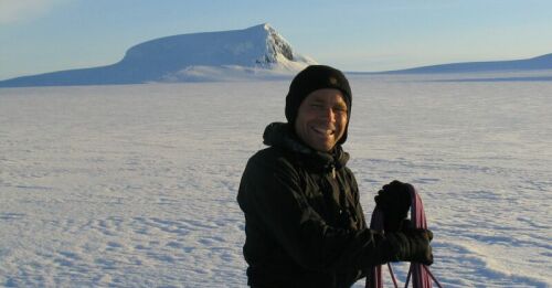
In July 2005 the National Land Survey of Iceland executed the
most accurate survey that can be done at this time. The outcome
was 2110 m above sea level.
Primary
methods to survey mountain peaks until present days:
Triangulation
network
When using the triangulation network, a network of known ground
stations is used to calculate accurate position of new and unknown
points with the rules of geometry. Surveyors stacked milestones
in prominent places which were then surveyed and marked on maps.
Later these points were used to estimate the height of the place
to be surveyed. Imprecision in this type of survey is in the refraction
in the air that deceives the eye of the surveyor.
GPS-surveying
Global Positioning Systems rely on communicating with many satellites
that are in orbit around Earth. Imprecision in GPS-surveying can
be due to interference in the aerospace, incongruence in clocks,
etc. To minimize the uncertainty in surveys the GPS equipment
must be on the same place during a certain amount of time.
|